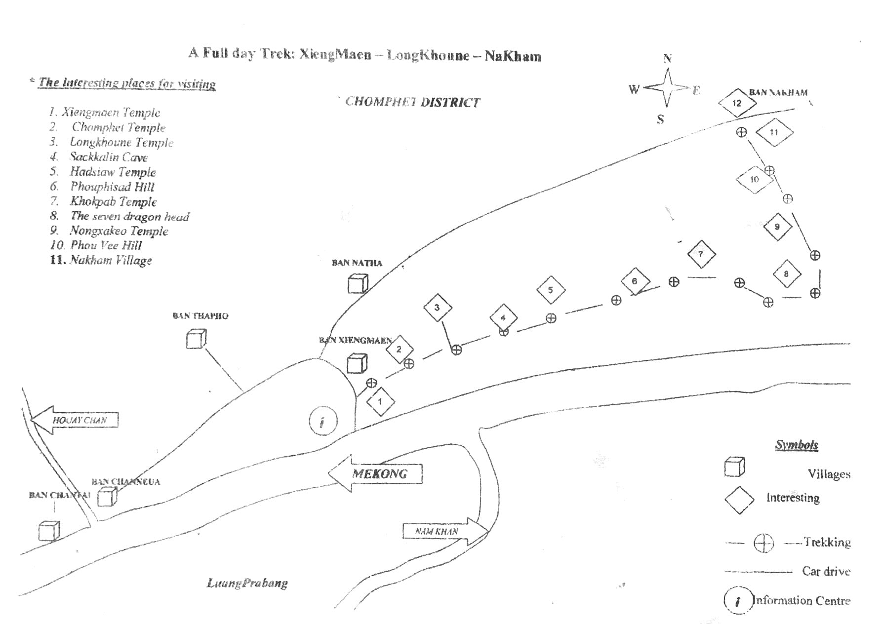
Laos — A circular walk from Ban Xieng Man, Luang Prabang (ຫລວງພະບາງ/ຫຼວງພະບາງ), Laos

A long hot walk!
September 2015
So, I headed out on my circular walk from Ban Xieng Ma. The walk is also called the Chomphet Trail, as it is in the Chomphet District.
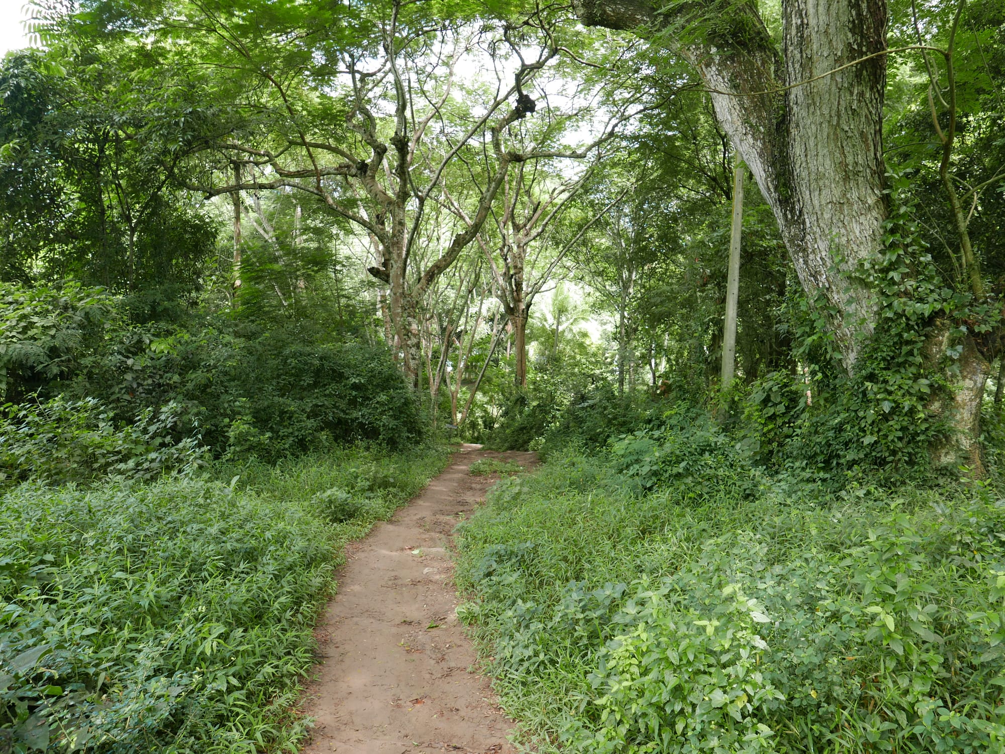
The first part of the walk was along a good concrete road.
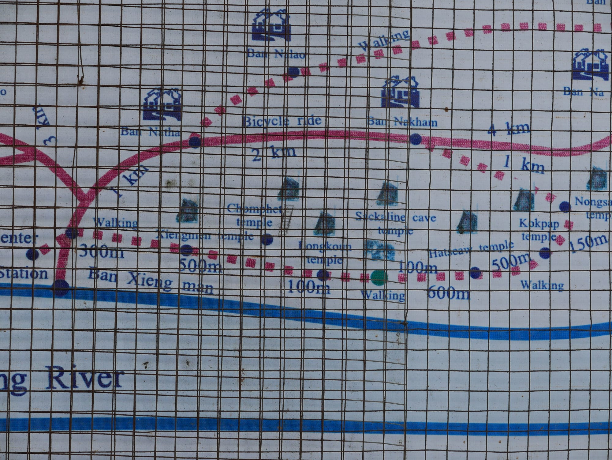
As I walked along the path, I struggled to find the places mentioned on the map:
- Xiengmaen Temple — possibly, Wat Xiang Man
- Chomphet Temple
- Longkhoune Temple
- Sackkalin Cave
- Hadsiaw Temple (Wat Had Siaw Temple)
- Phouphisad Hill
- Khokpab Temple
- The Seven Dragon Head
- Nongxakeo Temple (Wat Nong Sa Keo)
- Phou Vee Hill
- Nakham Village
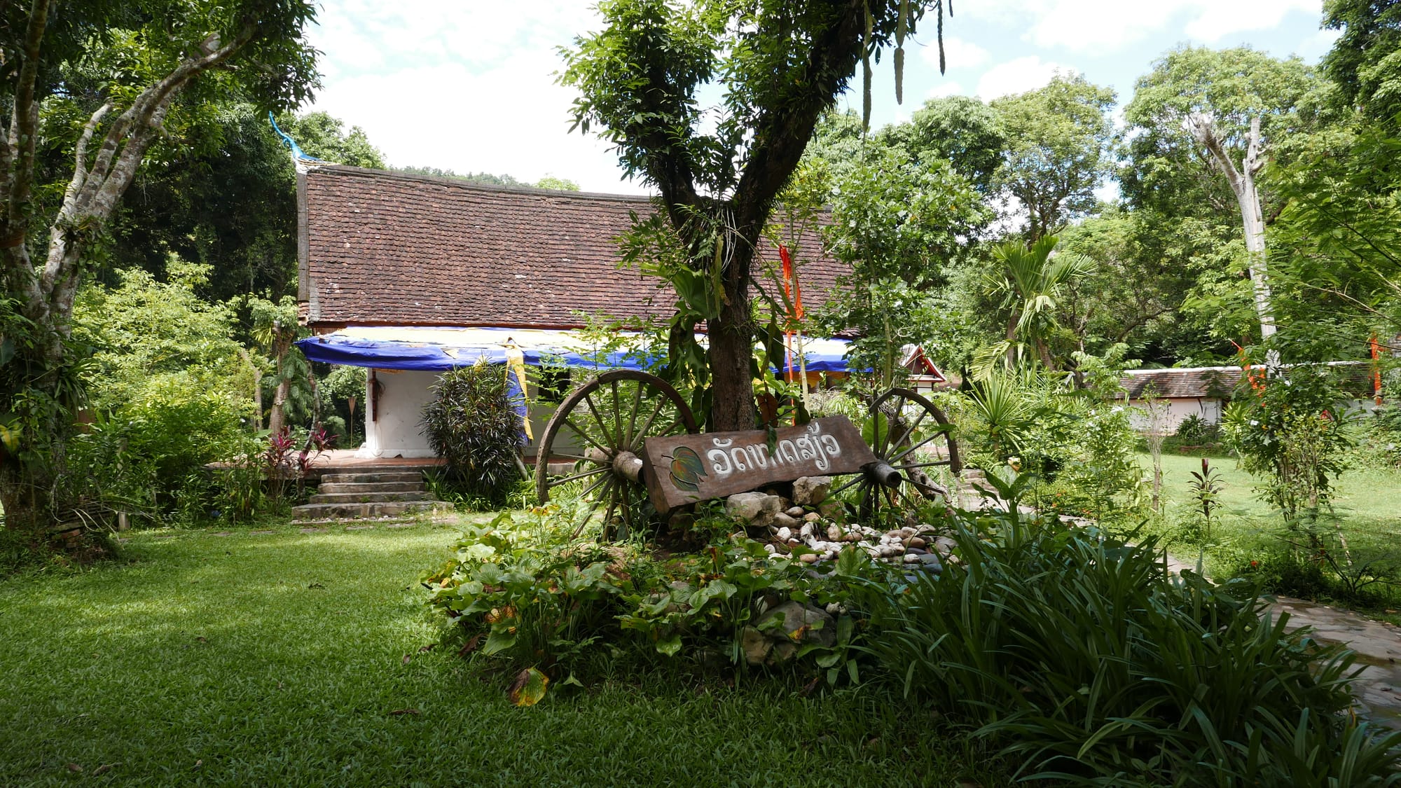
1. Xiengmaen Temple — possibly, Wat Xiang Man
Somehow, I missed Xiengmaen Temple — possibly, also called Wat Xiang Man.
2. Chomphet Temple
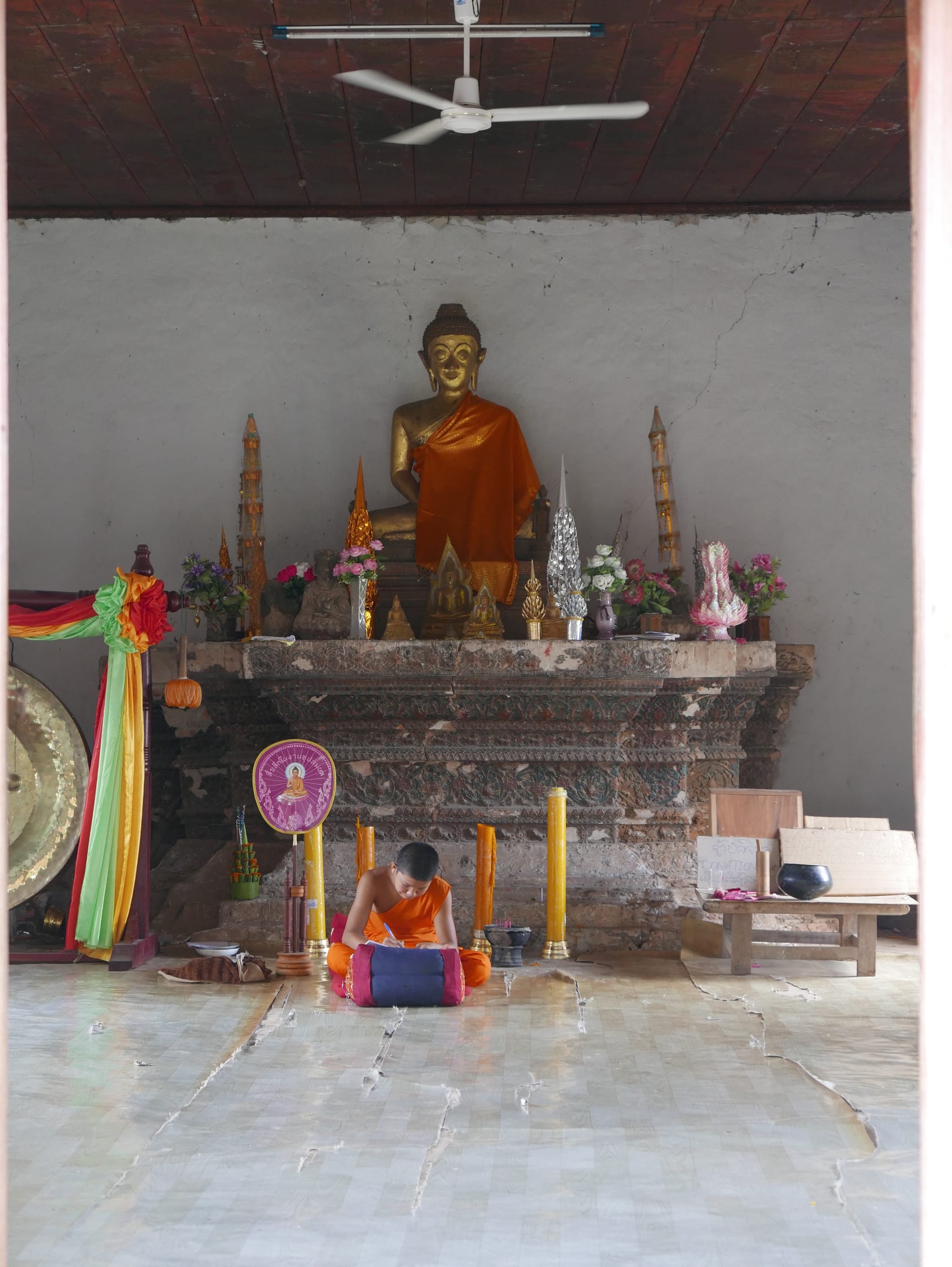
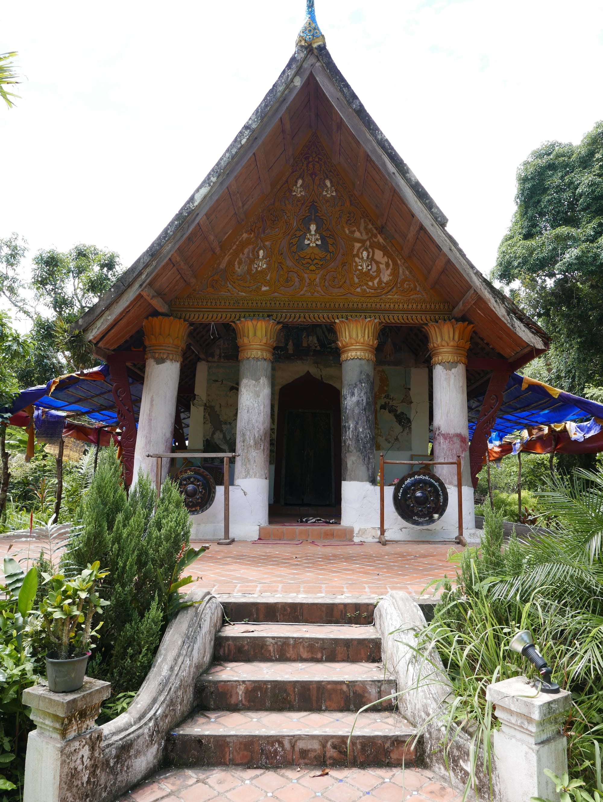
I did find number 2 — Wat Chomphet.
This was “marketed” as the “Abandoned Temple”, but it was not, and I had to pay an entry fee.
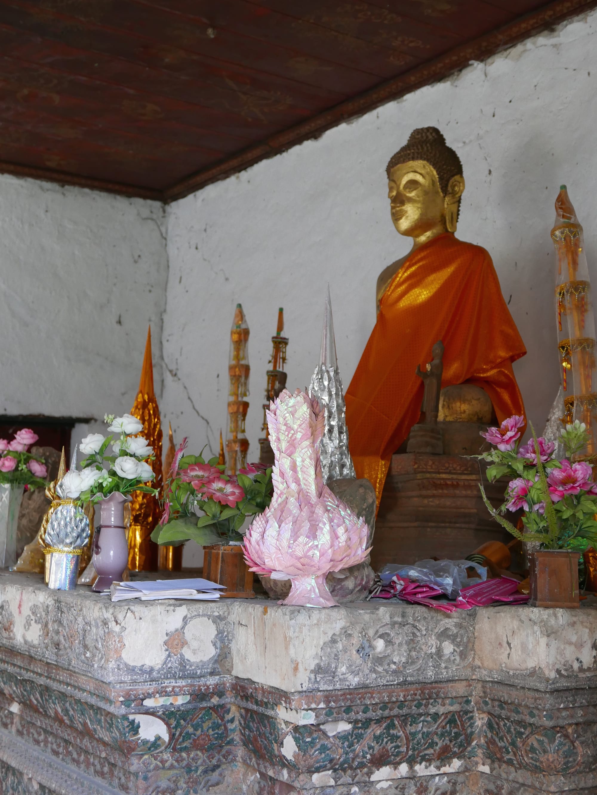
Wat Chomphet is on the top of Phouphet Hill, with a very steep staircase.
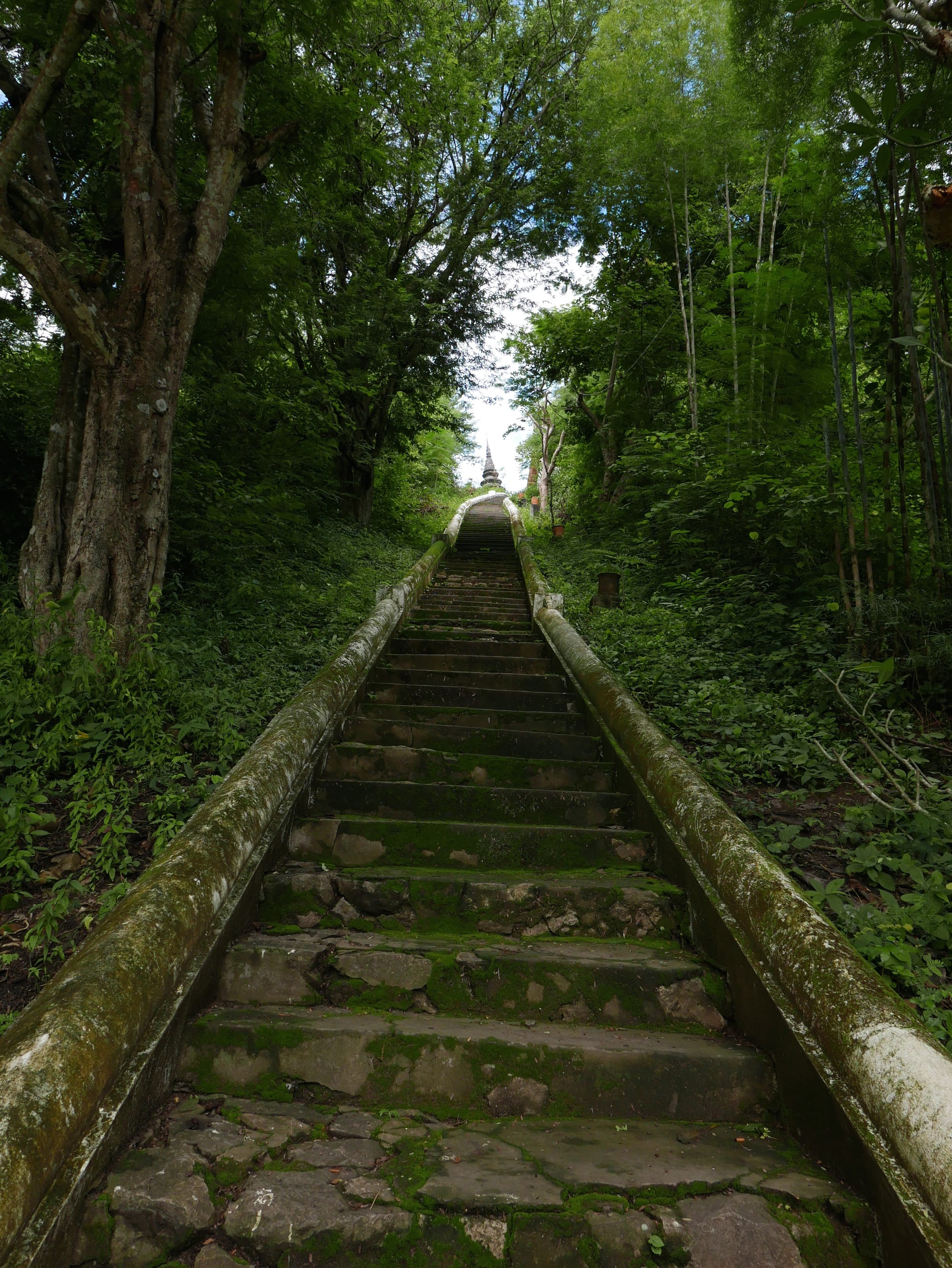
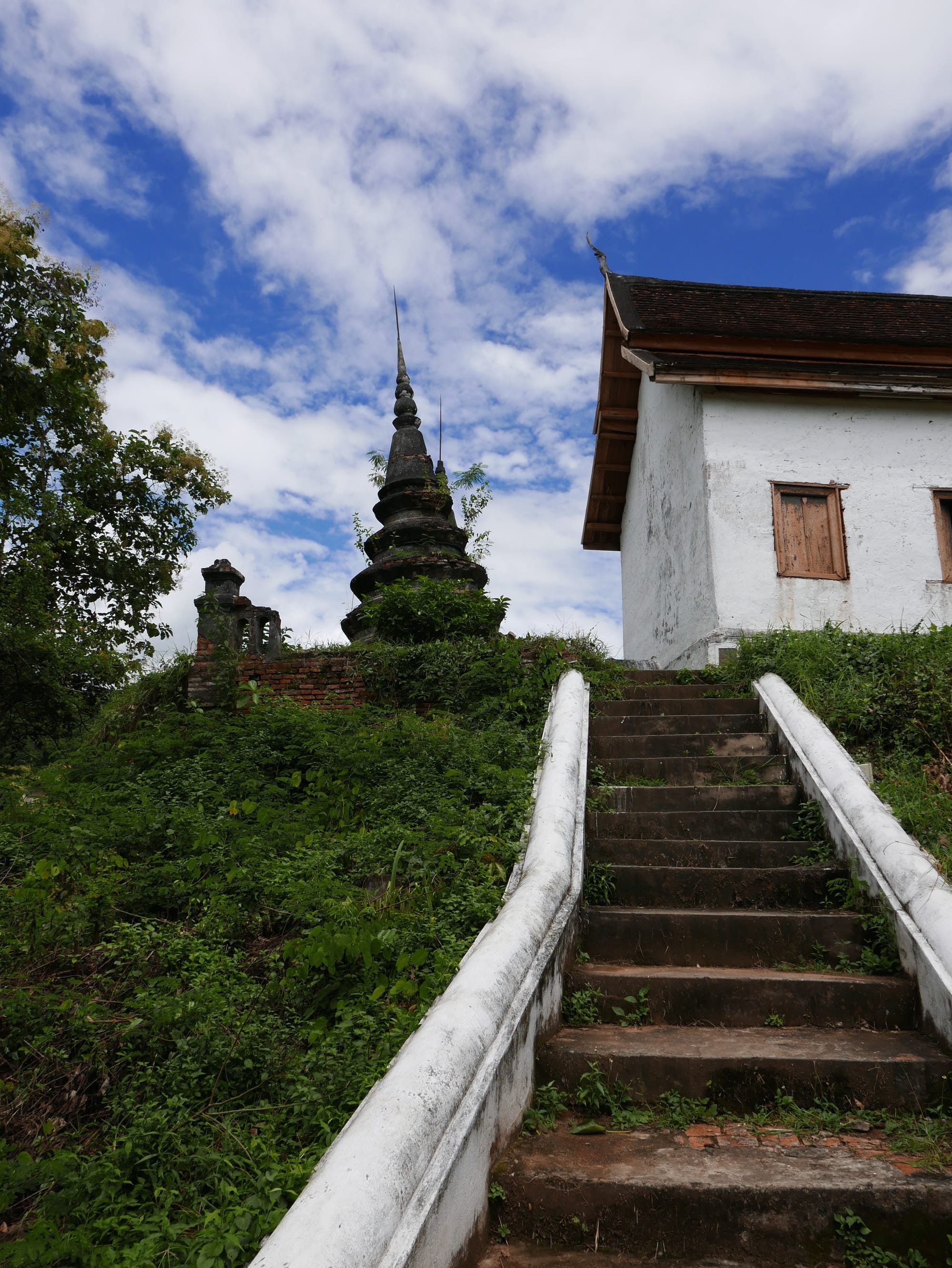
The views from Phouphet Hill of Luang Prabang and the Mekong River were stunning.
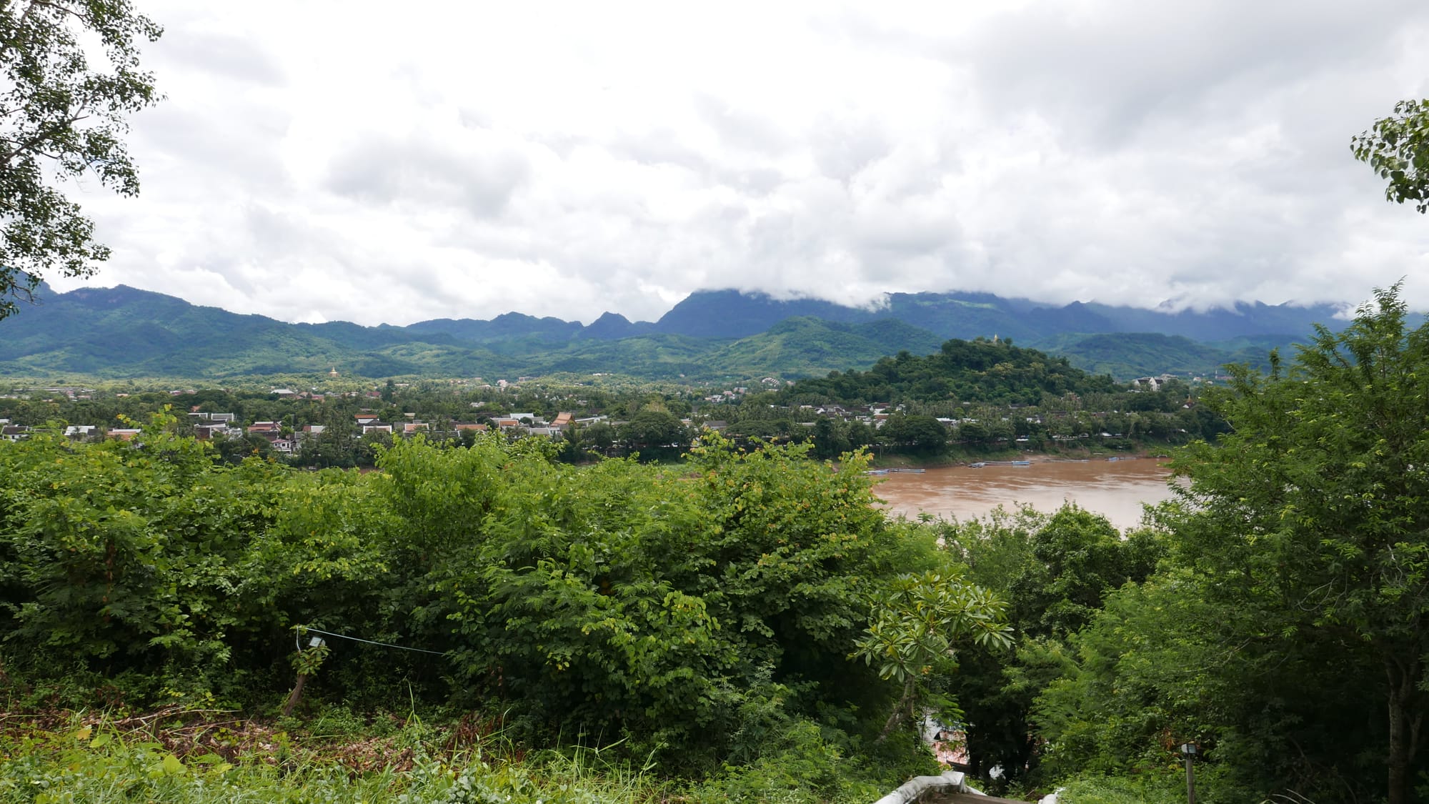
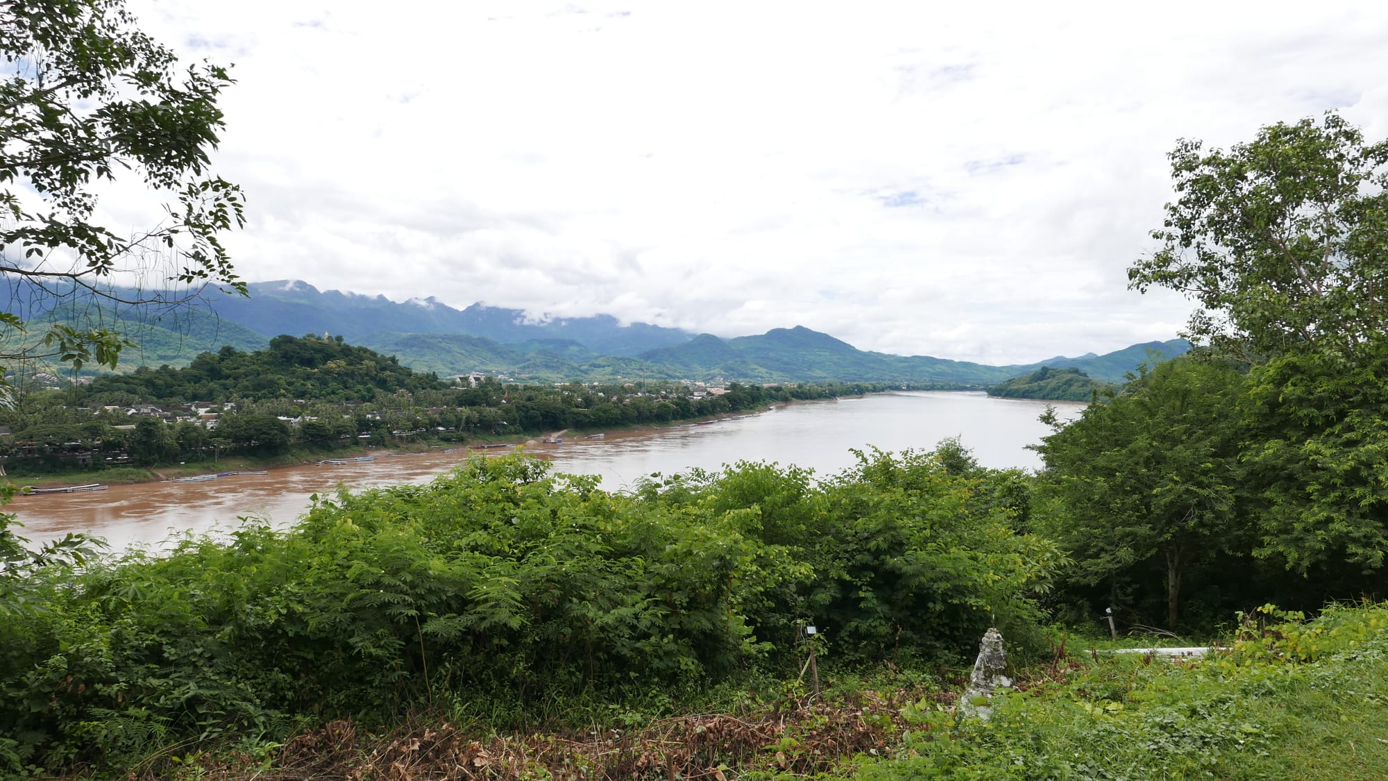
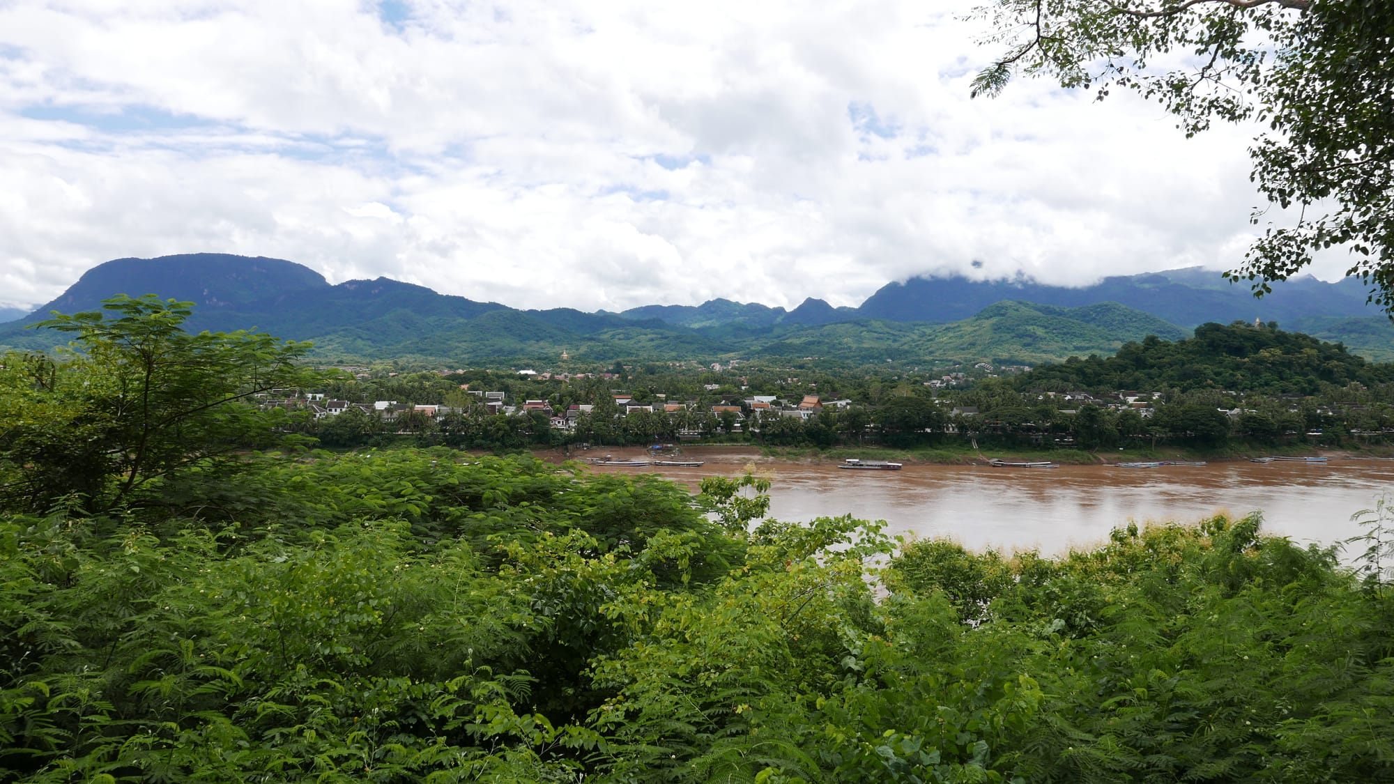
The temple was built in 1888 and, at one point, served as a military base. With the views from the hill, you could see why it was a base.
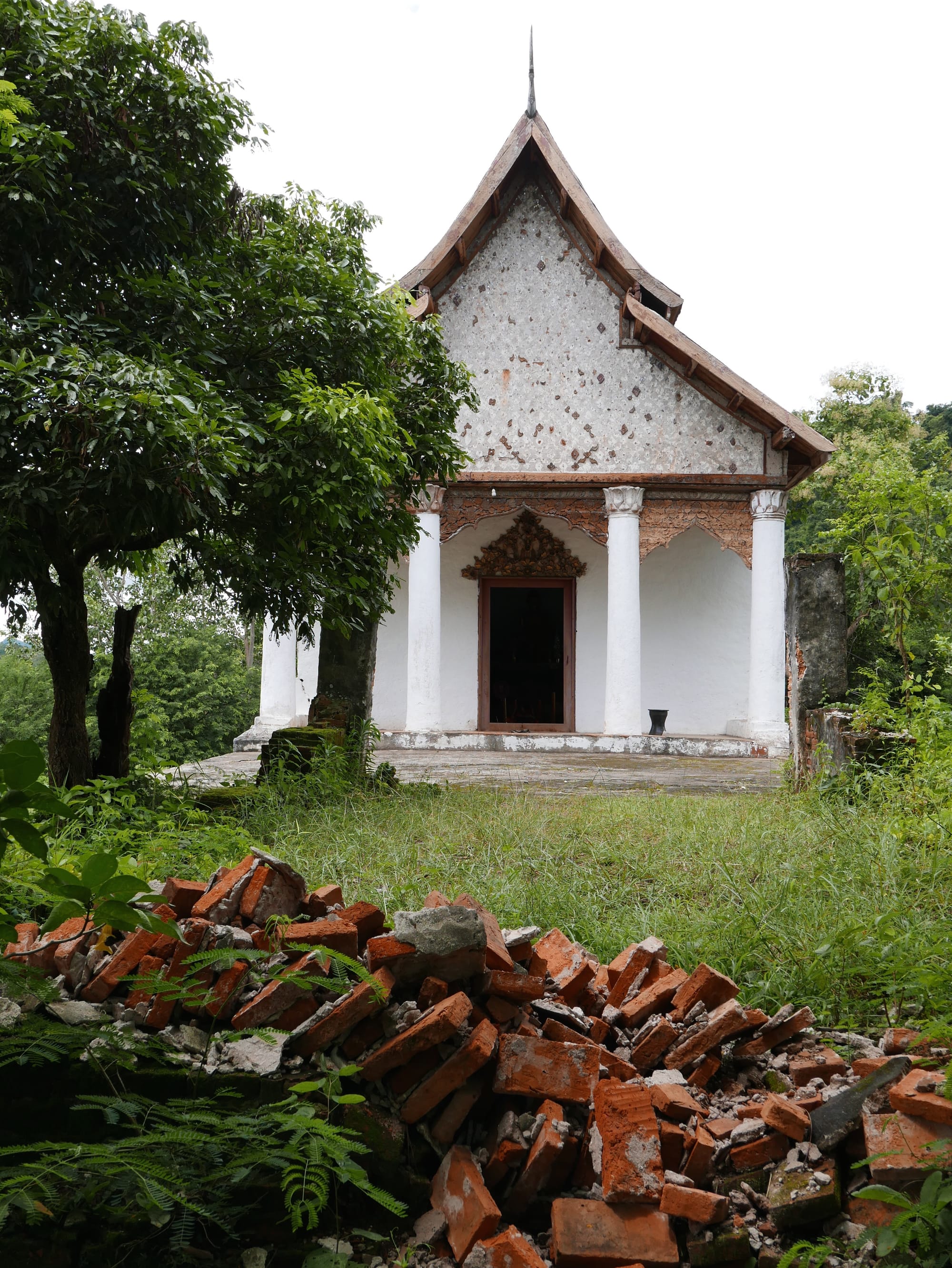
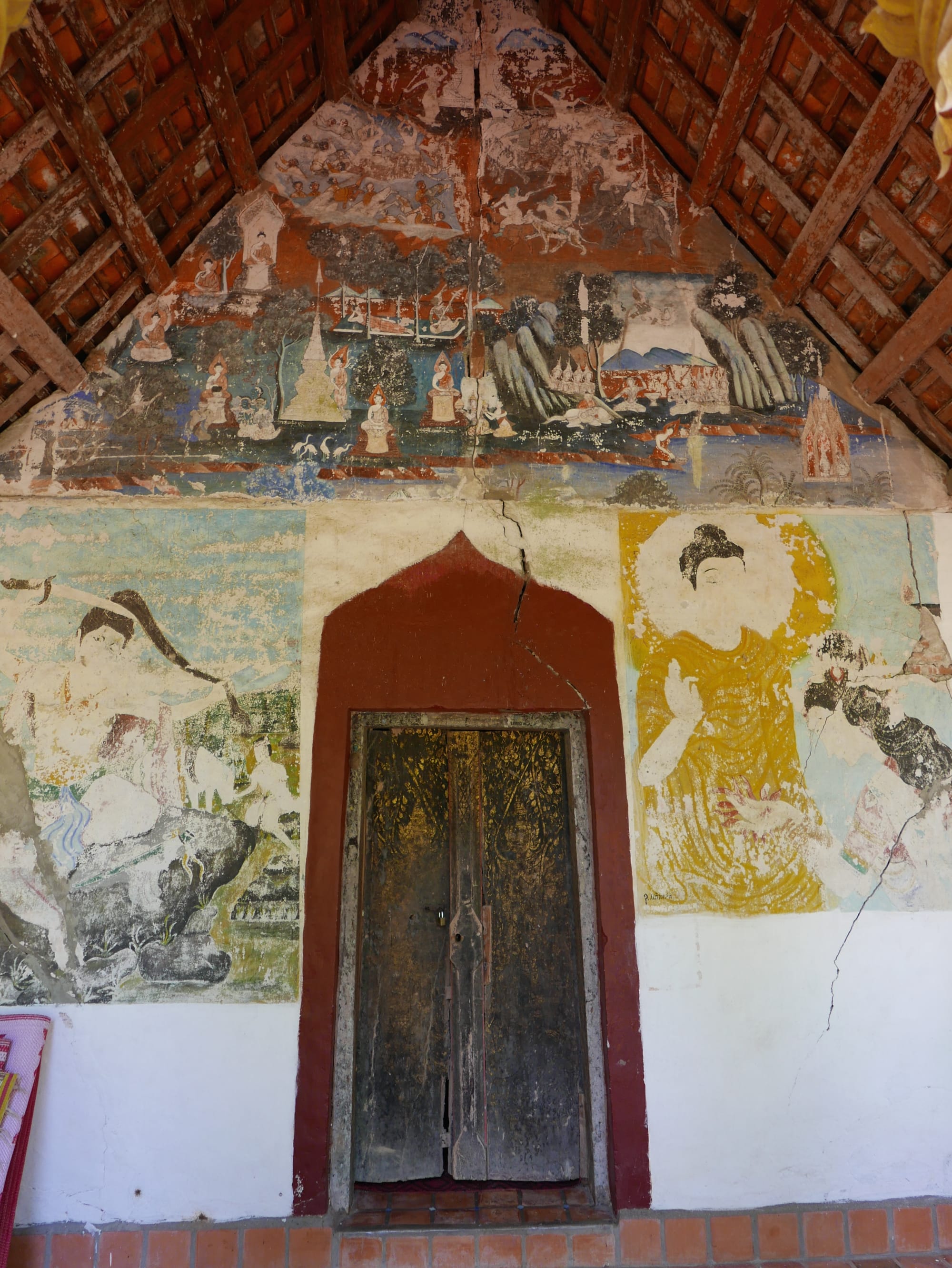
Inside was a small shrine and a monk studying. The temple was very much in use and not abandoned.
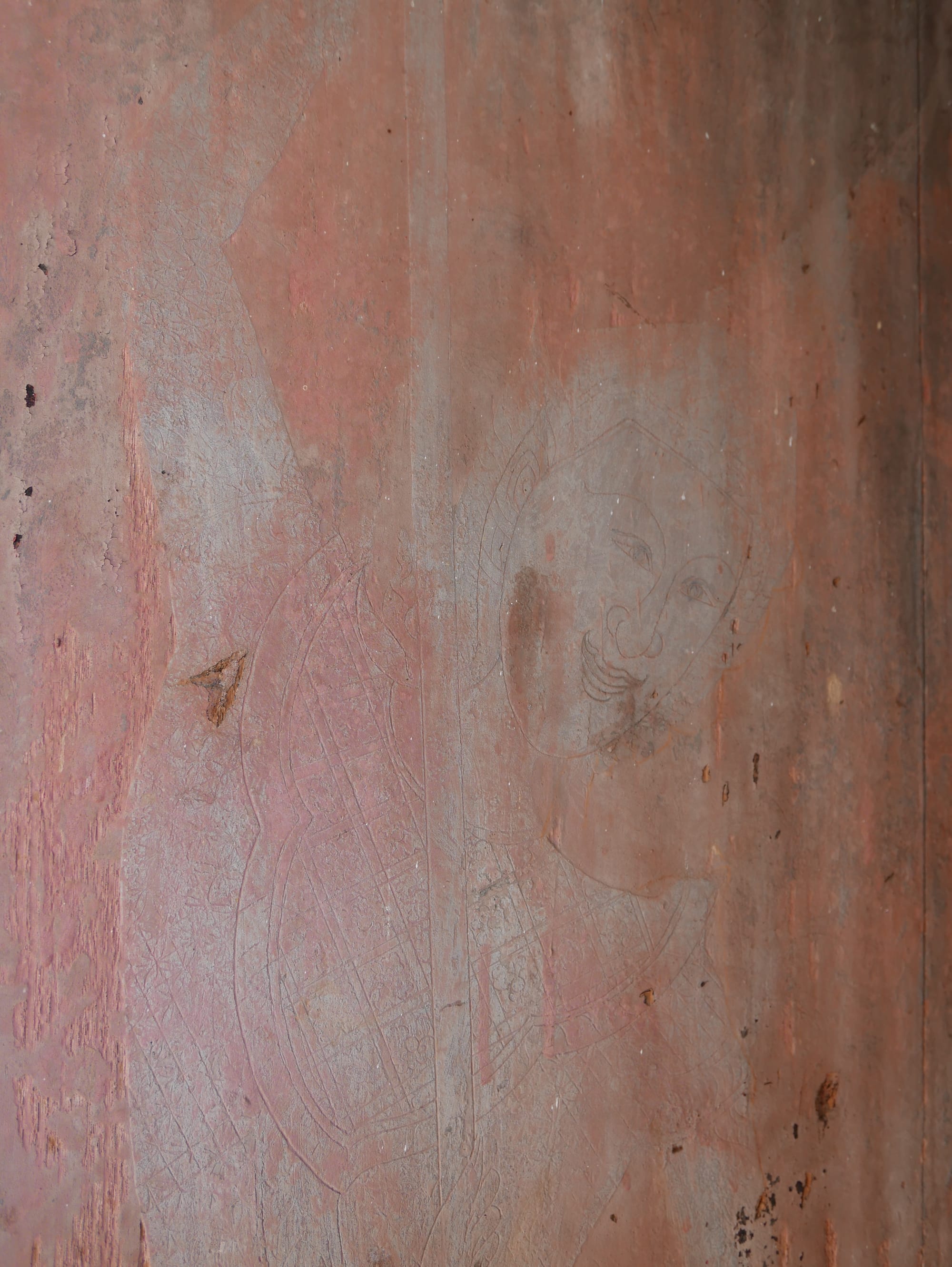
On one of the walls, there was a beautiful drawing. You can make it out if you look closely at the photograph below.
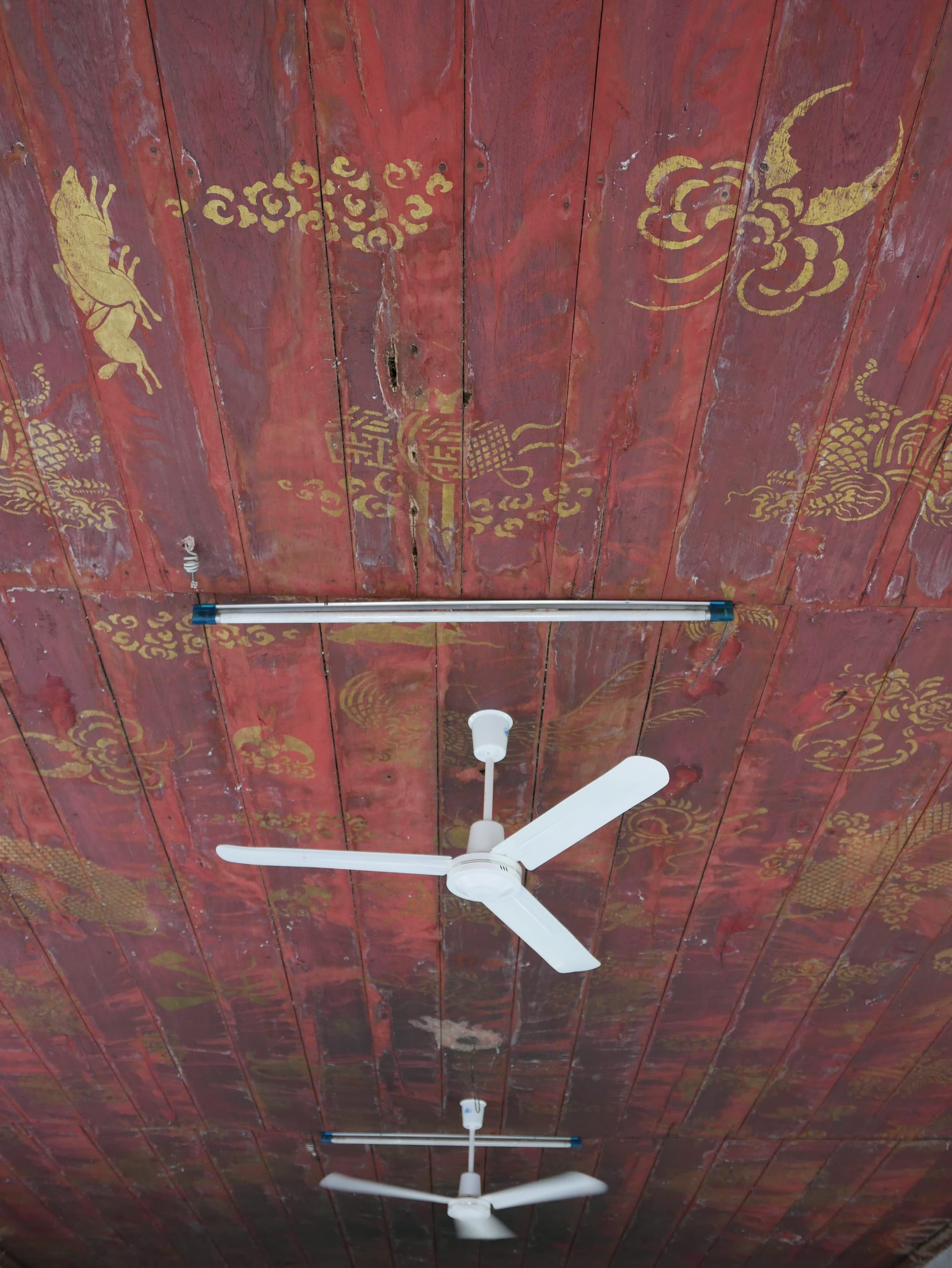
And there was also some artwork on the ceiling.
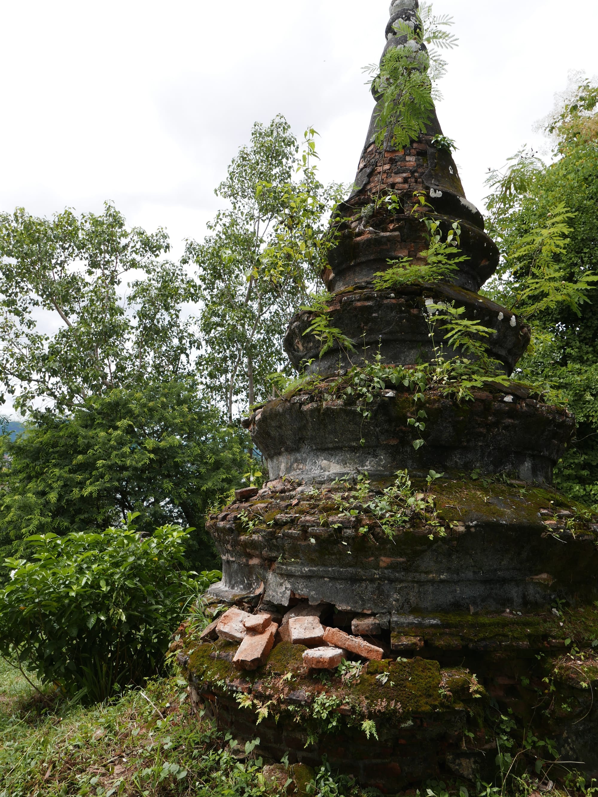
With some French funding, the temple underwent restoration from 1996 to 2007.
3. Longkhoune Temple
I could not find Longkhoune Temple (or Wat Long Koon) Temple.
4. Sackkalin Cave
Again, this was something I failed to find.
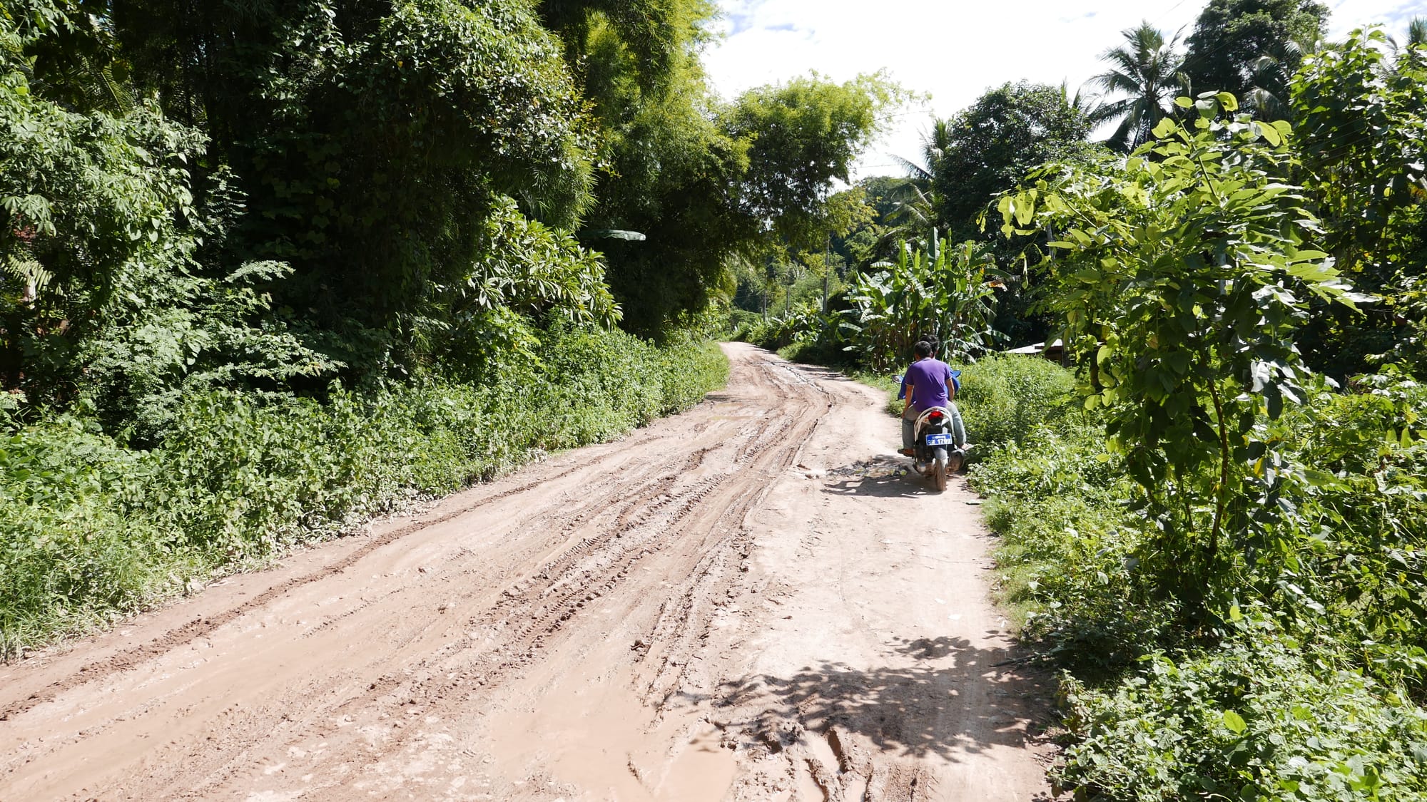
Tourist Information in Ban Xieng Man advised me not to go beyond Sackkalin Cave (number 4) without a guide as the path was bad.
The path didn’t look too bad, so I pushed on.
There were locals on the road; if it became too bad, I could always turn back.
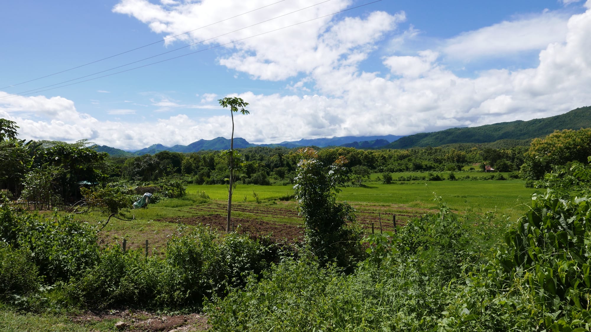
Plus, the scenery was stunning.
I then came across a junction and had no idea what was happening with the truck. It looked stuck.
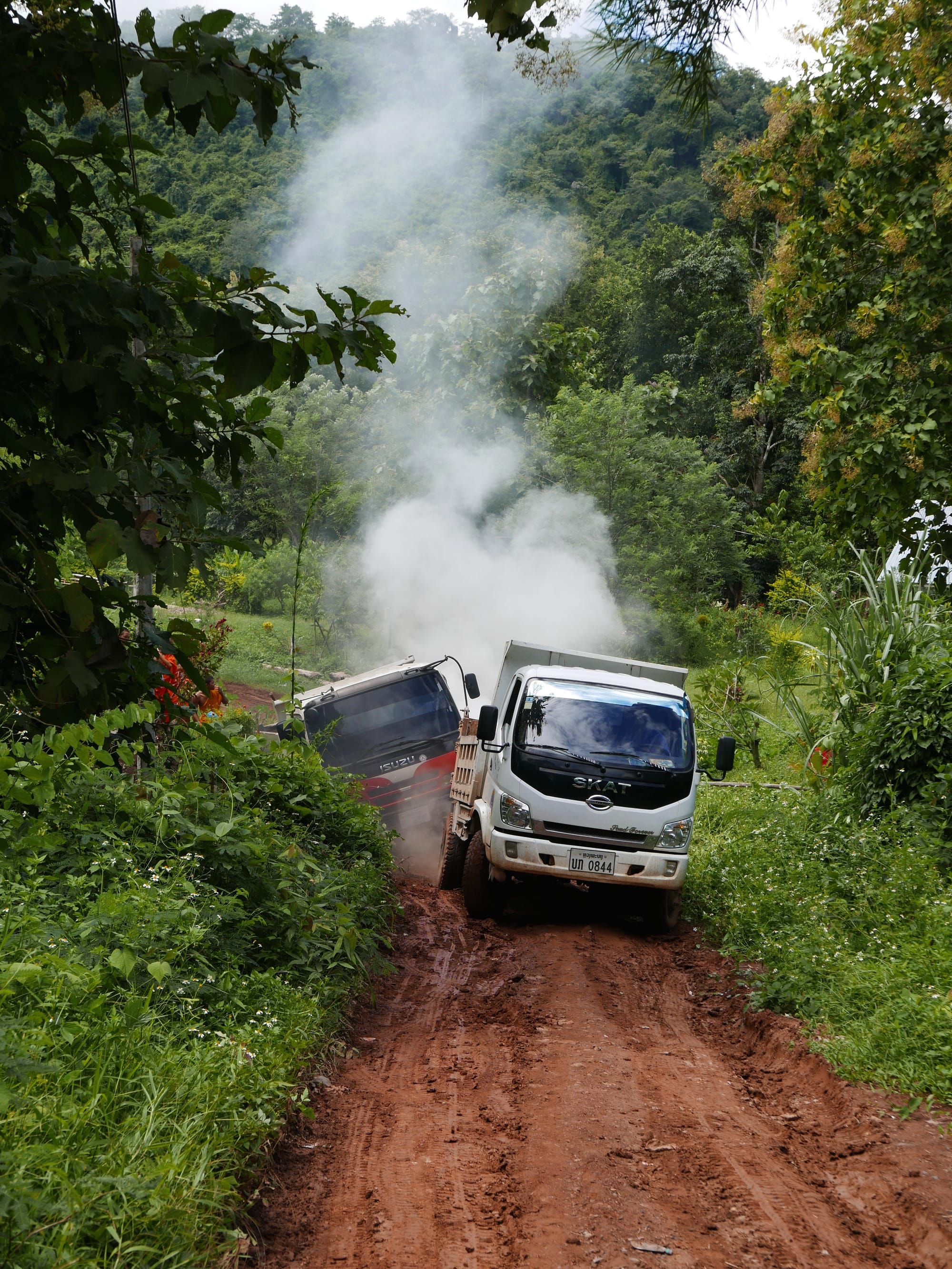
I decided to take the trail to the right, as the map suggested I needed to stick by the river.
5. Hadsiaw Temple (Wat Had Siaw Temple)
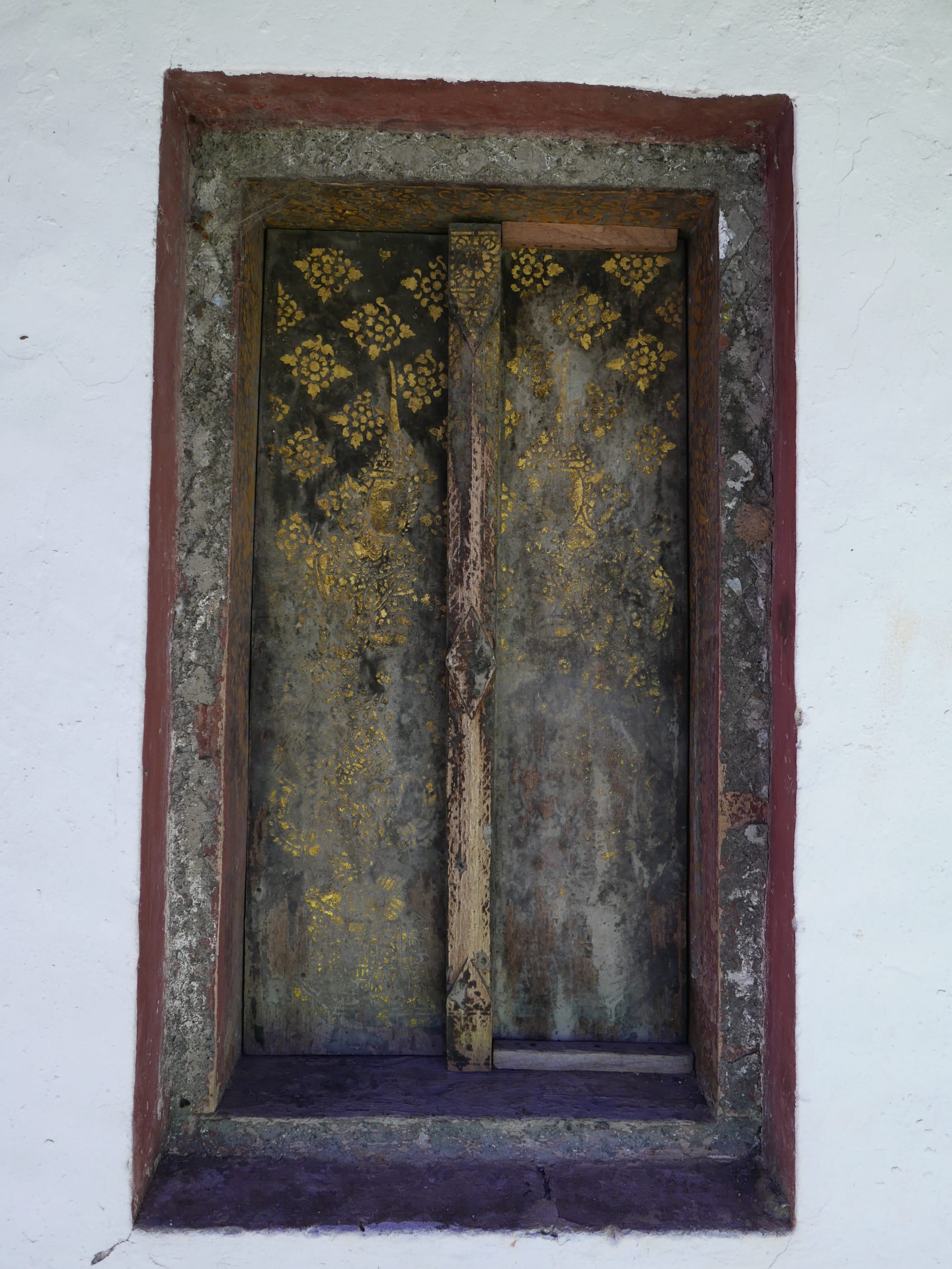
I did find number 5 on the map — Hadsiaw Temple or Wat Had Siaw Temple.
The temple had an old feel to it.
And I loved the old artwork on the walls.
The door was incredible.
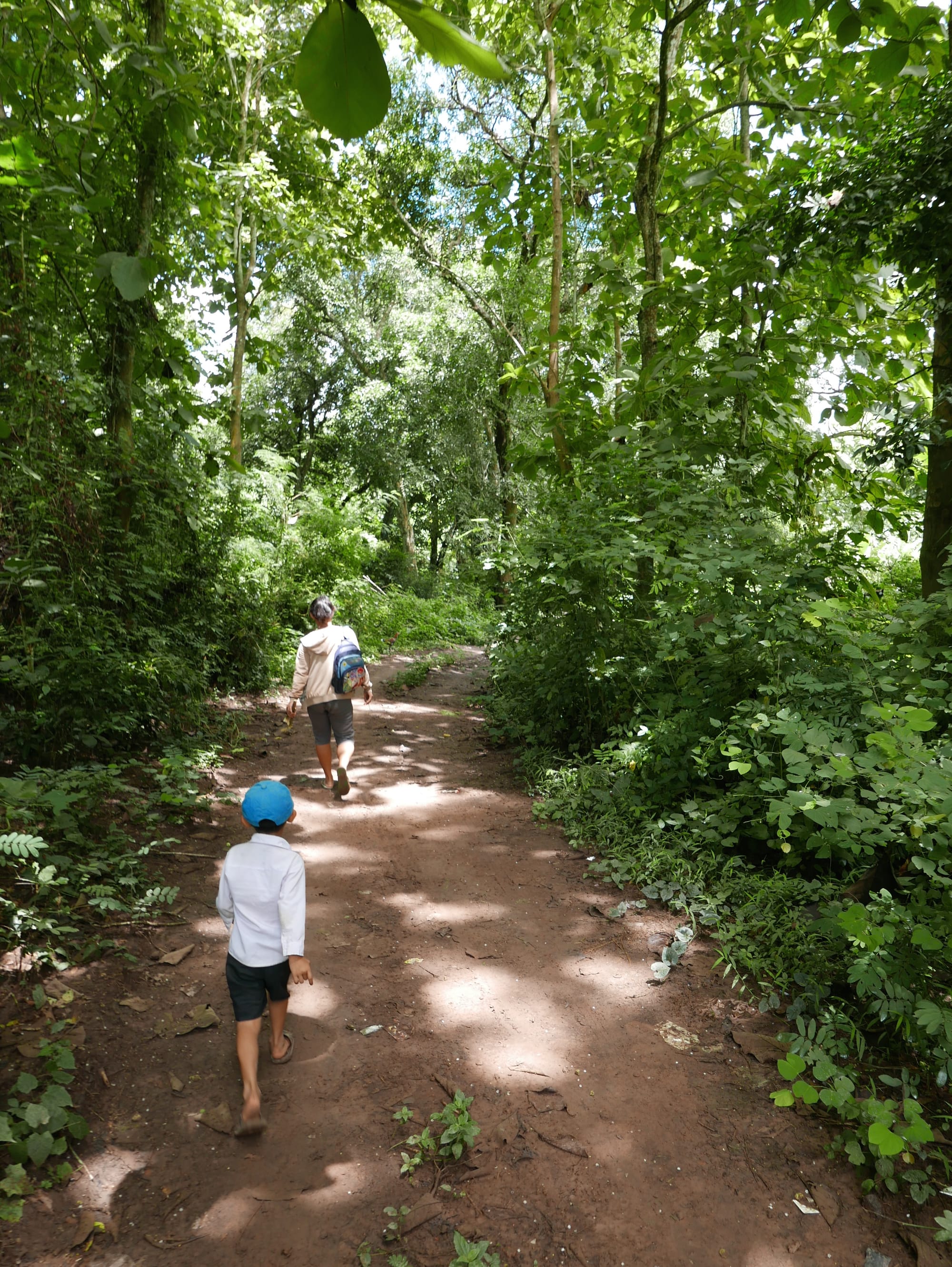
With limited success, I continued walking along, searching for places on the map.
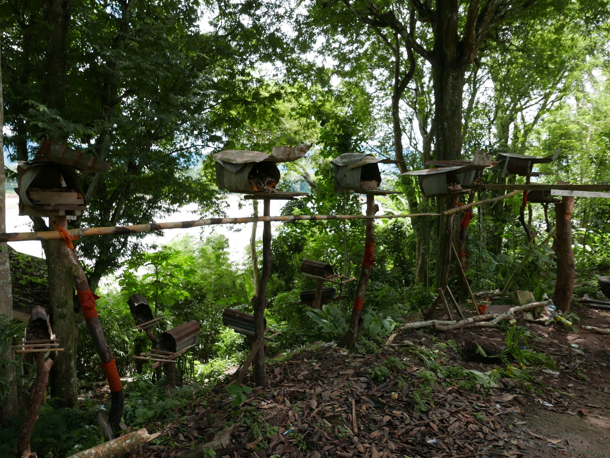
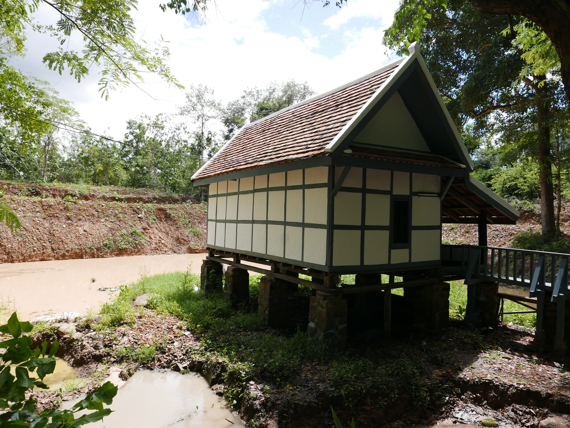
I did pass one interesting-looking place, but I decided not to go in because I wasn’t sure if it were one of the places on the map.
And I was unsure what these were in the image below. At first, I thought they were mailboxes, but I am not convinced they were. Feeding stations? Shrines?
I continued and was unable to find the following:
6. Phouphisad Hill
7. Khokpab Temple
I pressed on, and with hindsight, I should have turned back at Hadsiaw Temple (Wat Had Siaw Temple) and not followed the path up from the river.
From a fork in the path at the last temple near the river, I went left to the Seven Dragon Head (number 8 on the map).
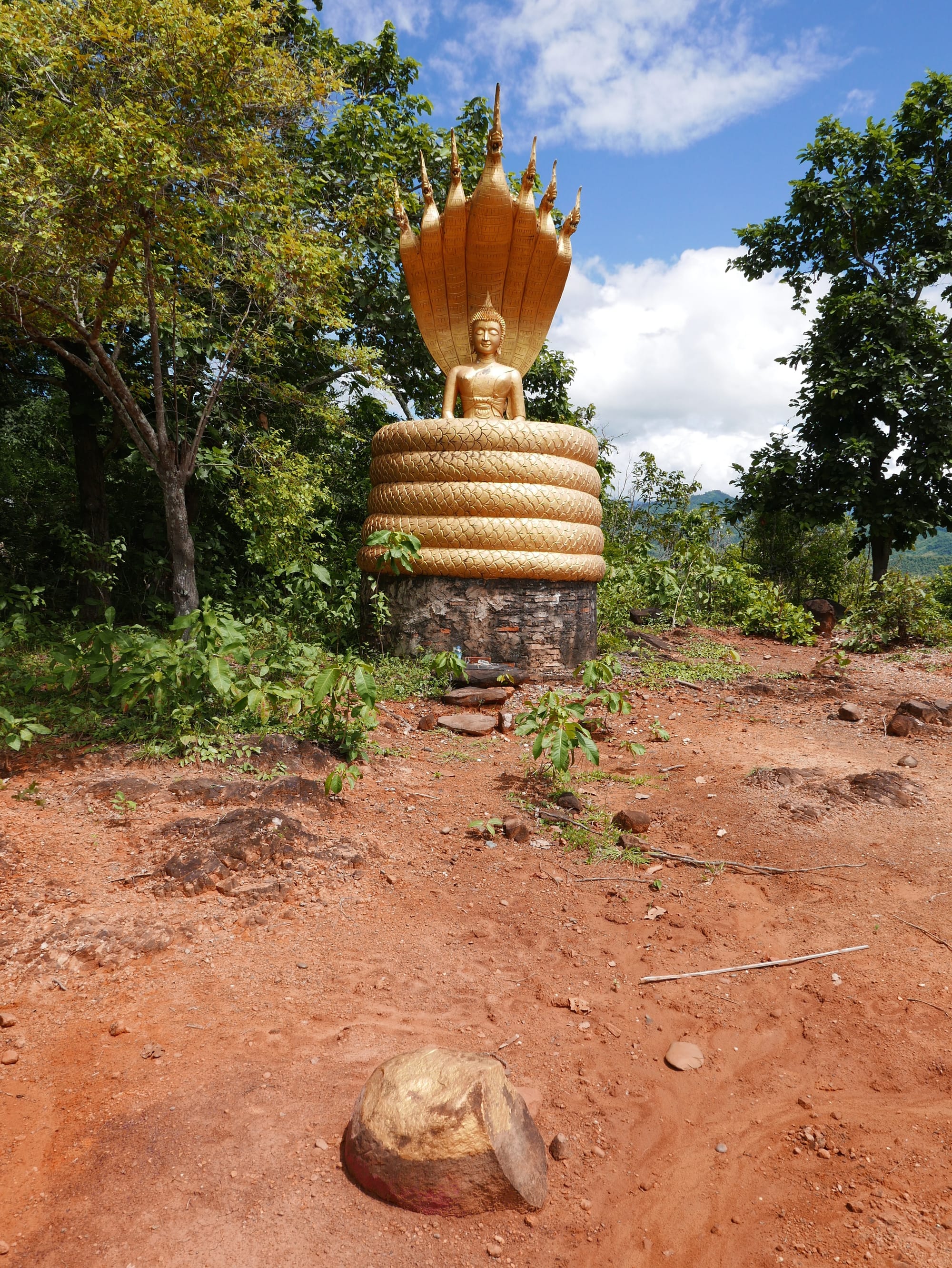
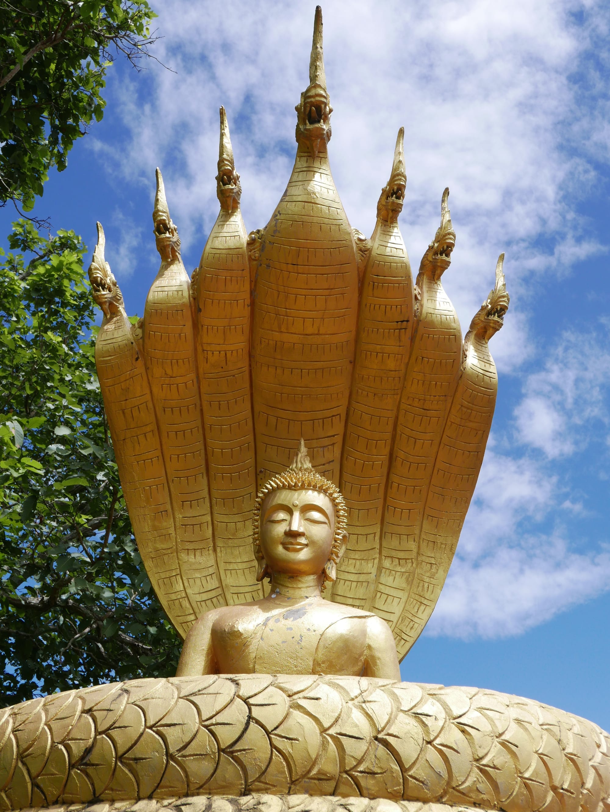
8. The Seven Dragon Head
I found the Seven Dragon Head.
It was a relief to find it as I was beginning to wonder if I was still on the trail, as there were no markers or anything to indicate I was going in the right direction.
I followed the path away from the Seven Dragon Head and found number 9, Nongxakeo Temple (Wat Nong Sa Keo).
9. Nongxakeo Temple (Wat Nong Sa Keo)
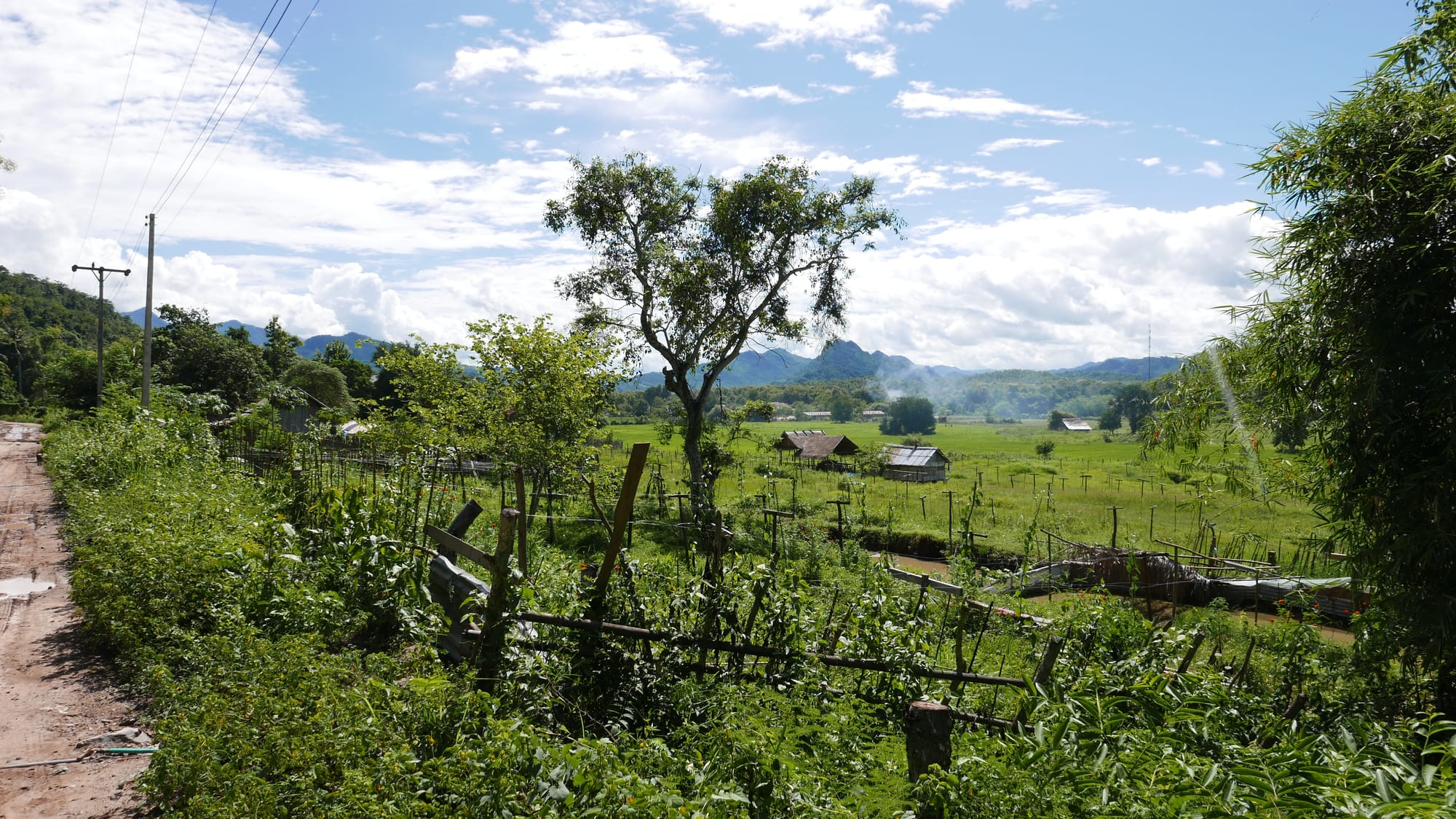
Number nine was the Nongxakeo Temple (Wat Nong Sa Keo), which was supposed to be in a lake. But, when I visited, the lake was low, and the temple looked like a temple raised on a few bricks.
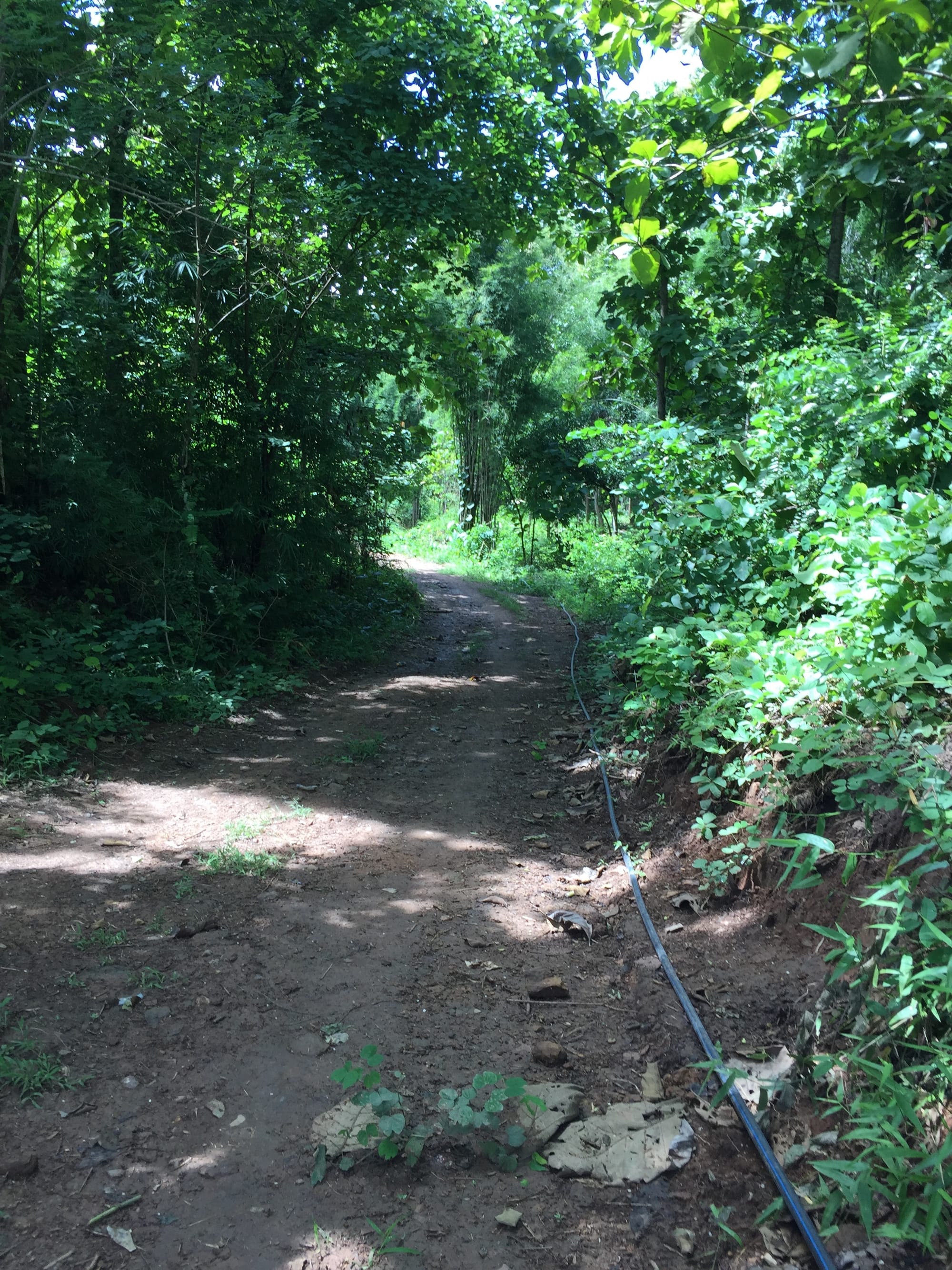
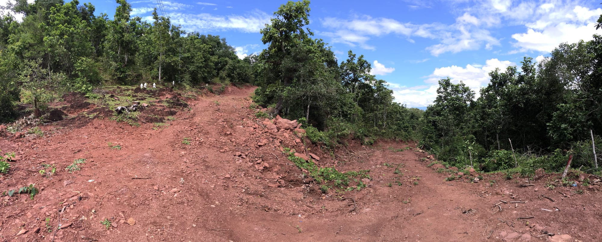
After the Nongxakeo Temple (Wat Nong Sa Keo), there was no more road to follow, only a single-track path through the woods. I should have turned back.
I pushed up the hill, kept going, ducked under a fence, followed the path, and passed a pond on my left.
Next, I followed the path up away from the pond and down towards another fence.
The path at least appeared well-trodden.
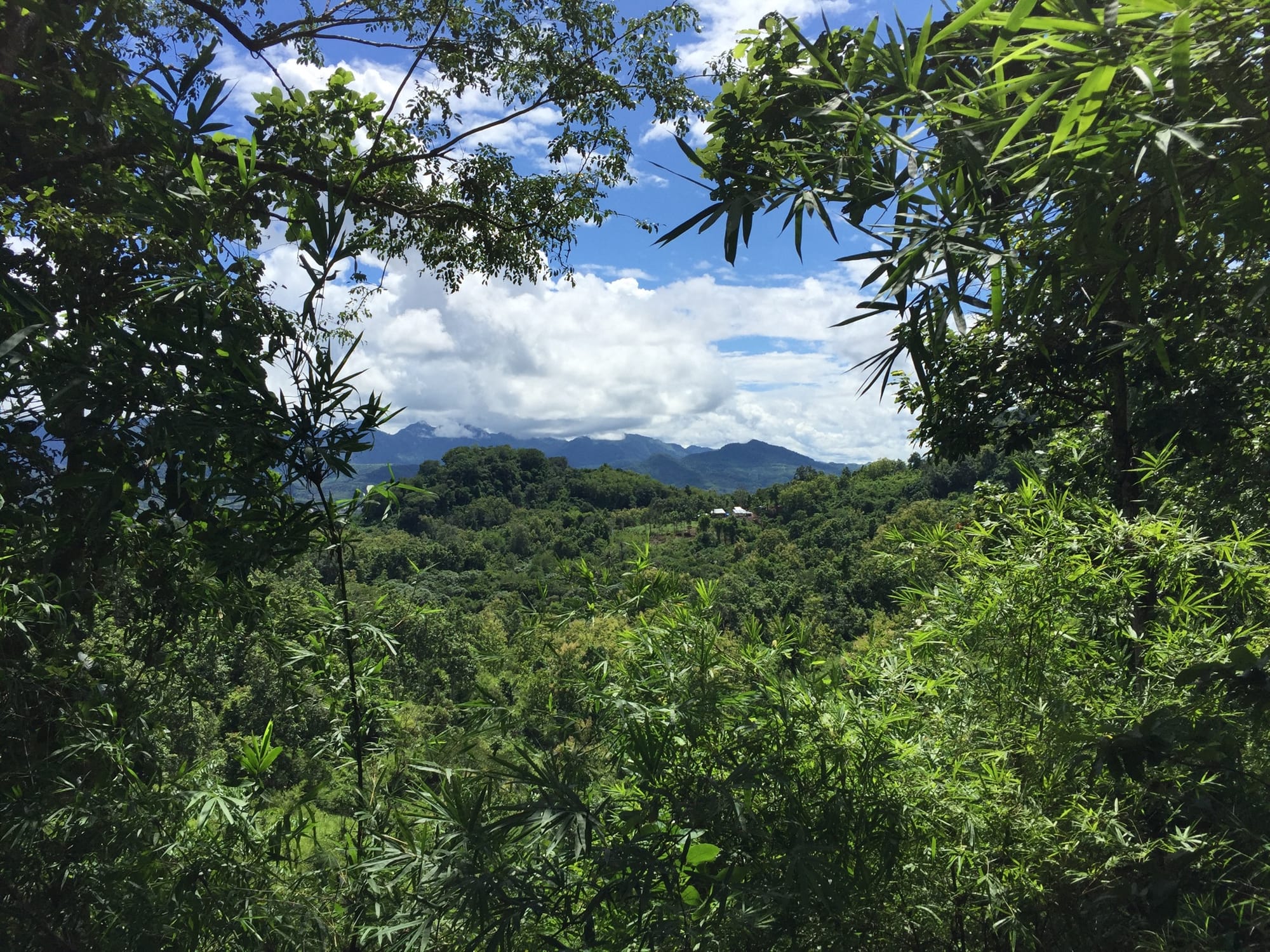
The trail then ran along a fence for some time, with great views.
The fence line finished about 50 m from the road.
I turned right onto the road, knowing it would take me to a nearby village. If I had turned left, I would have gone down to the Kiw Nor Temple and back along the trail by the river.
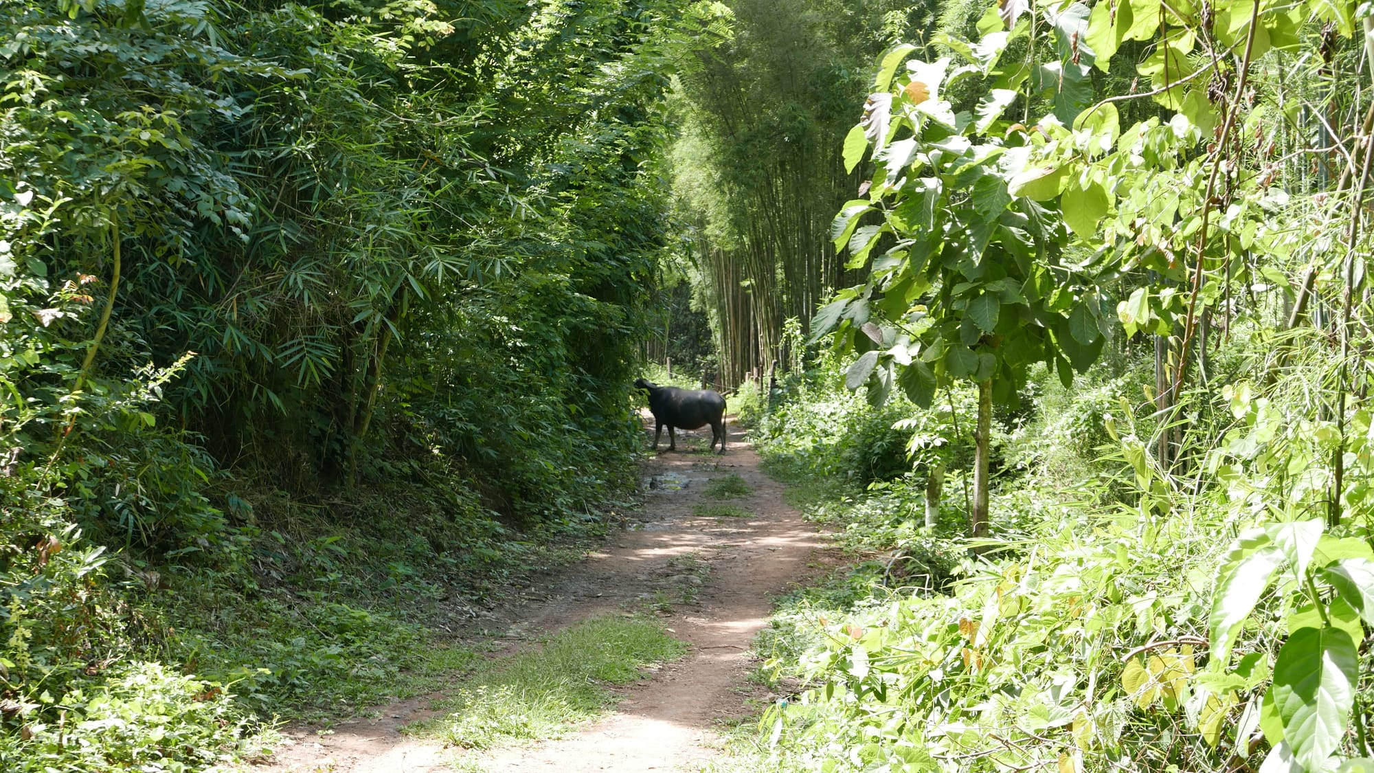
As I walked along the road, I saw a big cow standing in my way — looking at me. I shouted. It didn’t move. I took a detour through the forest to avoid it.
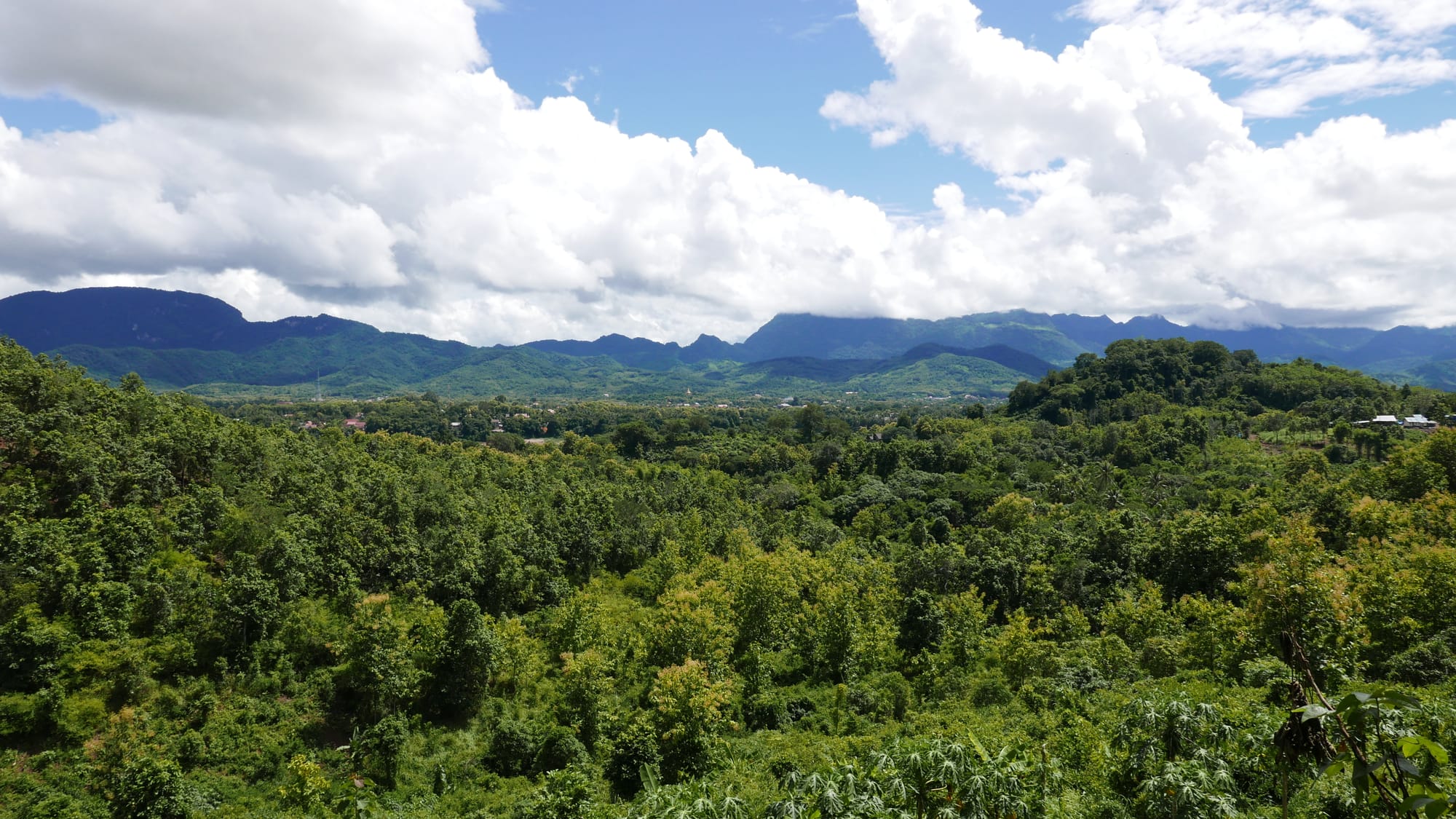
The views from the road across the surrounding countryside were beautiful.
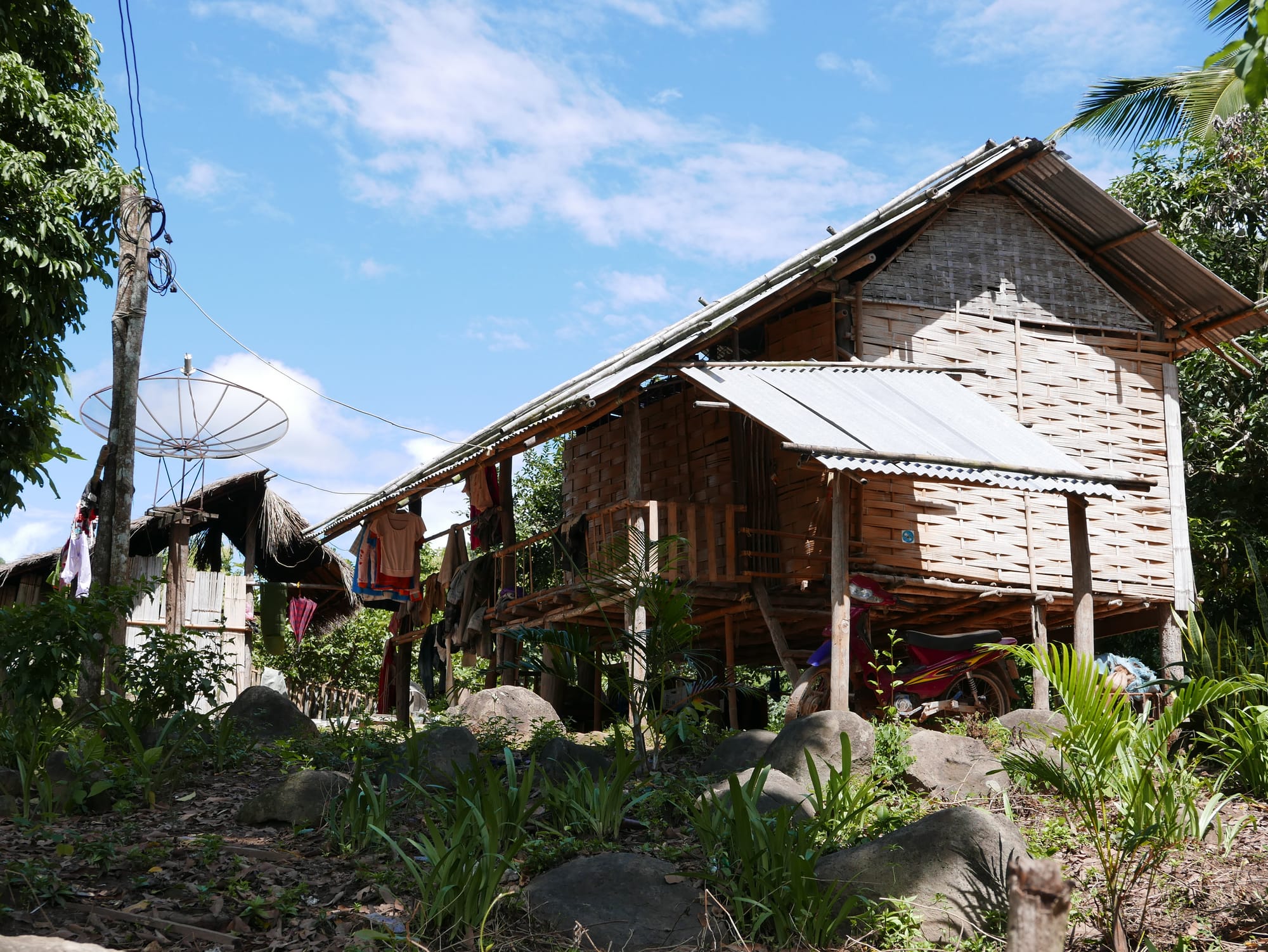
I finally came to a crossroads, turned left towards Ban Xieng Man, and arrived in a small village.
I wasn’t confident I had walked up number 10 on the map, Phou Vee Hill.
10. Phou Vee Hill
I walked up a hill, which may have been Phou Vee Hill.
11. Nakham Village
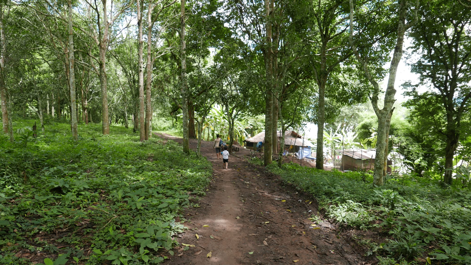
I was unsure of the name of the village I arrived at — I assumed it was Nakham Village.
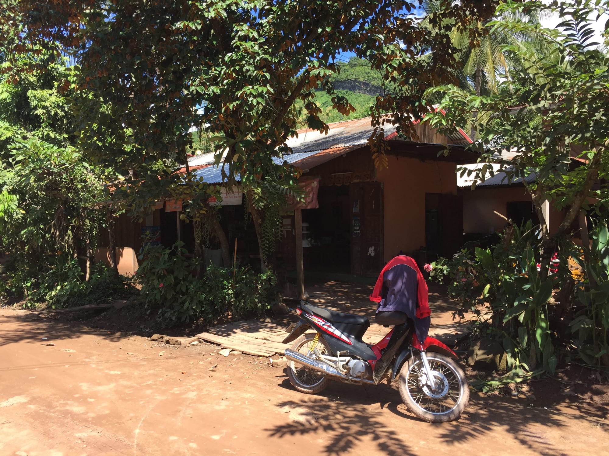
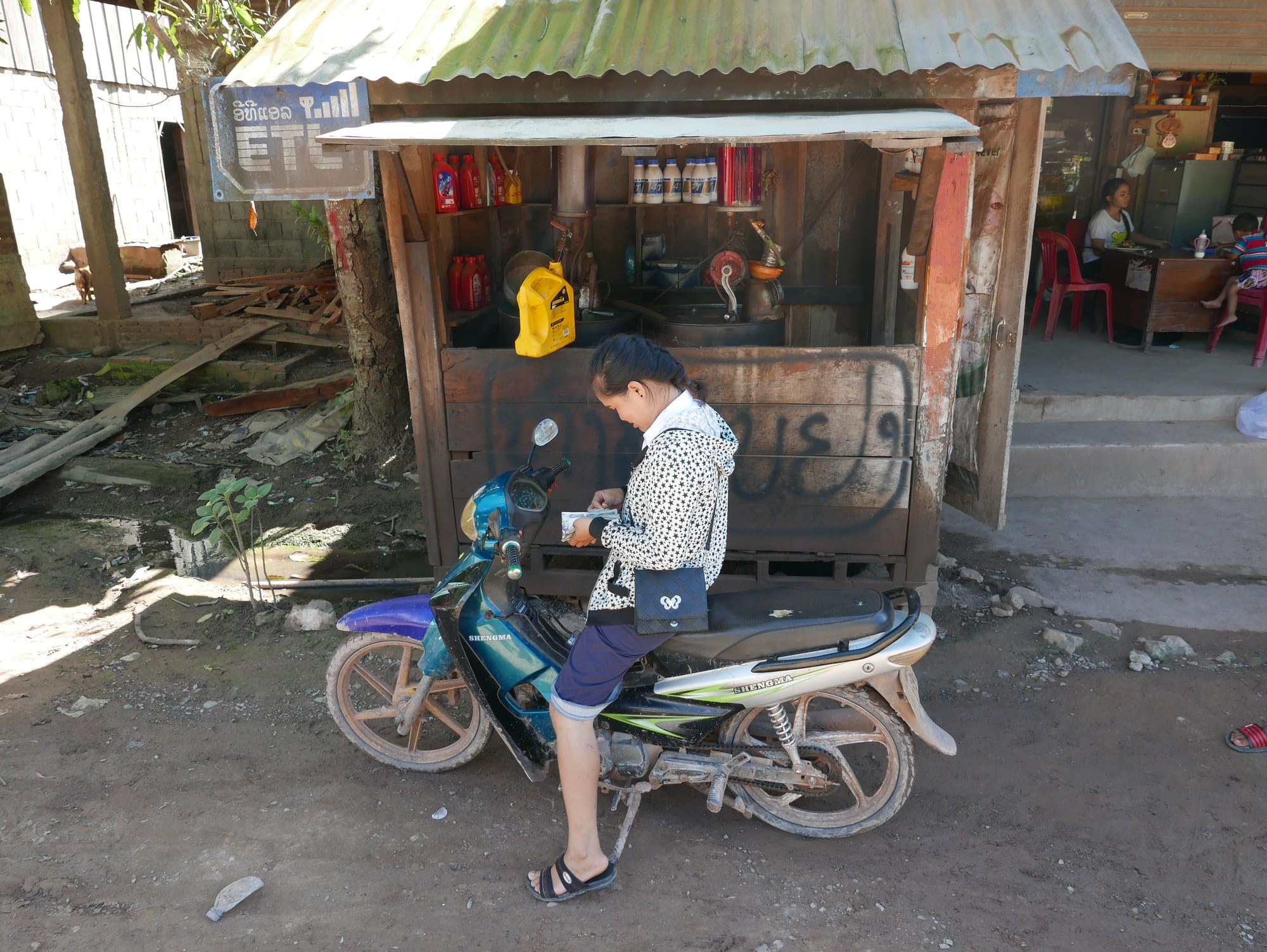
I stopped at a small shop in the village. I bought a bottle of cold water, sat and listened to the sounds of village life. Birds singing, TV, occasional motorbike, kids playing, villagers chatting, cockerels crowing.
At this point, I could have taken a motorbike or Tuk Tuk back to the ferry, but as I was on a walk, I decided to continue, even though it was very hot and humid.
Some locals stopped to offer me a lift on their motorbikes as I walked along. I said no. One person passed on a motorbike with an AK47 casually strung across his front. A bit worrying.
It was worth the effort to walk back to the ferry as I got to see the views.
One downside to walking along the road was no shade, and the sun was hot. Very hot. I used my broken sun umbrella to keep some sun off, but it was still very hot.
I stopped in the next village for more water and took the righthand fork towards Ban Xieng Man.
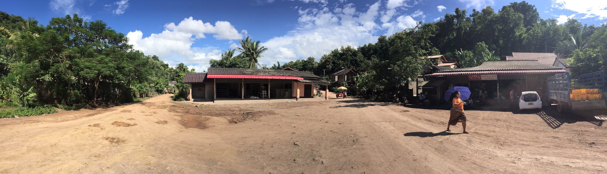
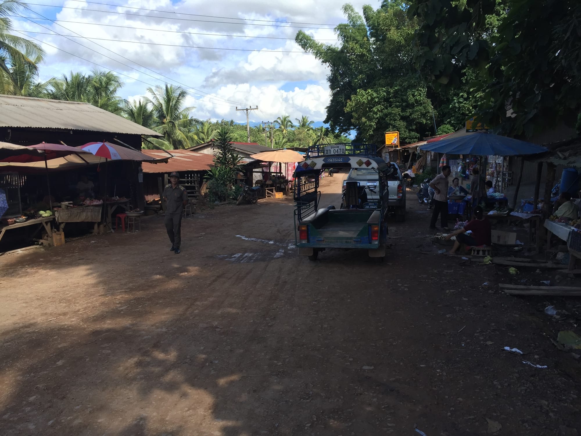
Finally, I arrived back in Ban Xieng Man at the top of the road with the market that led down to the ferry.
I enjoyed the walk, it was very hot and tiring, and I ran out of water.
I should have turned back at The Seven Dragon Head, as the trail after that point was sketchy, and I could have easily got lost. I was lucky.